Overview
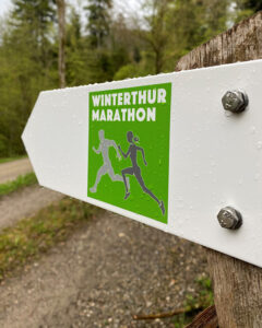
The half marathon route leads around the idyllic Eschenberg, over long stretches through cool forest on pleasant natural roads, a natural experience! The half marathon route is certified by swiss athletics (IAAF standard) and becomes a marathon if you run it twice. The route is signposted with the generous support of Migros and the City of Winterthur.

![]()
Course Map
The signposted route can be seen on the Winterthur Marathon map.
Winterthur Marathon Map
Some information about the signposted route:
- Start/Finish: Zeughausstrasse, side road Kehrackerstrasse
- Running route: 21.1 km (12.6 km natural trails, 8.2 km tarmac, 170 meters of incline)
- Drinking water: Reitweg 0.3 km, Reitplatz 4.3 km, Waldhütte 12.3 km, Bollstrasse 18.9 km
- Toilet: Reitplatz 4.2 km
Download the GPX file for running watches with navigation function.
Emergence
The idea and implementation of the signposted route for the Winterthur Marathon came about during the corona pandemic. The running route enables anyone interested to complete a half marathon. The route can be run alone or with a companion and is of course available not only to runners but also to walkers and hikers. Driving down by bike is not possible on the signposted route due to various driving bans. See also driving bans on the online map.
Signposting
Directional arrows are only placed at branches. You can always walk along the route as long as there is no directional arrow indicating that you are leaving the route. The direction arrows were mostly attached to existing hiking trail signs.